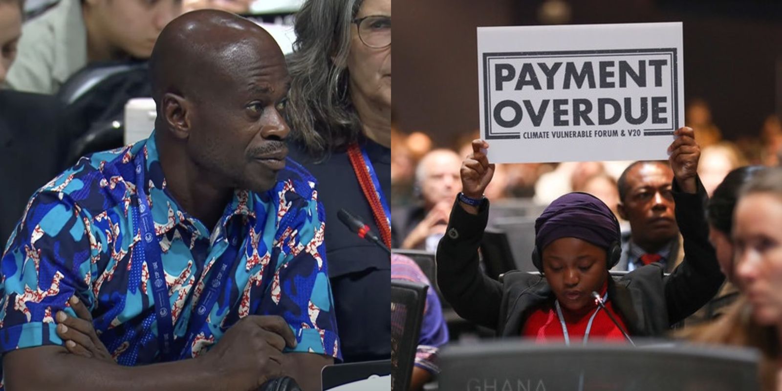
CVF's activities at COP28
Latest news
16
Apr
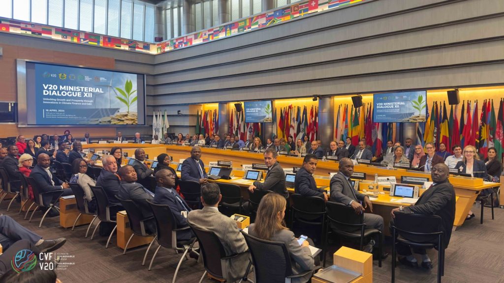
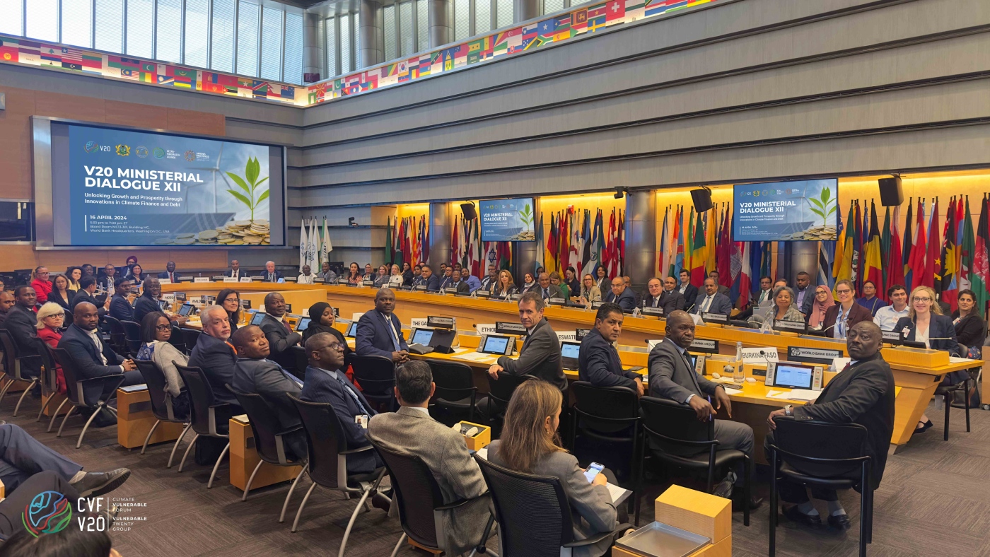
V20 Finance Ministers Call for Concessional Capital and Debt Solutions to Achieve Development and Climate Goals
APRIL 16, 2024, WASHINGTON, DC: Ministers from the 68 climate-vulnerable developing countries that make up the Climate V...
See all
16
Apr
V20 Central Bank Governors Begin New Working Group to Manage Financial Impact of Climate Crisis
APRIL 16, 2024, WASHINGTON, DC: Central Bank Governors from across the 68 nations that make up the V20 Finance Ministers...
09
Apr
CVF Statement on Climate Heat
CVF Statement on Climate Heat
By Mohamed Nasheed
Secretary-General of the Climate Vulnerable Forum, former president o...
Stay updated on the latest news
ABOUT THE CVF
Latest statements
30
Nov
Dr. Antwi Boasiako Amoah speaks on behalf of Ghana and the Climate Vulnerable Forum at the Opening Plenary of COP28
Statement given by Dr. Antwi Boasiako Amoah, Director, Climate Vulnerabilities and Adaptation, Environmental Protectio...
See all
05
Jun
Ghana CVF Presidency Statement for the Opening Plenary of the 58th Session of the UNFCCC Subsidiary Bodies
58th Session of the UNFCCC Subsidiary Bodies
Ghana CVF Presidency Statement for the Opening Plenary
...
26
May
Statement Delivered by the Minister of Health of Ghana, Hon. Kwaku Agyeman-Manu at the CVF Climate Health Side Event
CVF Climate Health Side Event: Key findings of the Climate Vulnerability Monitor 3 at the 76th World Health Assembly
...
Current Events
No event found!
Recent Events
No event found!
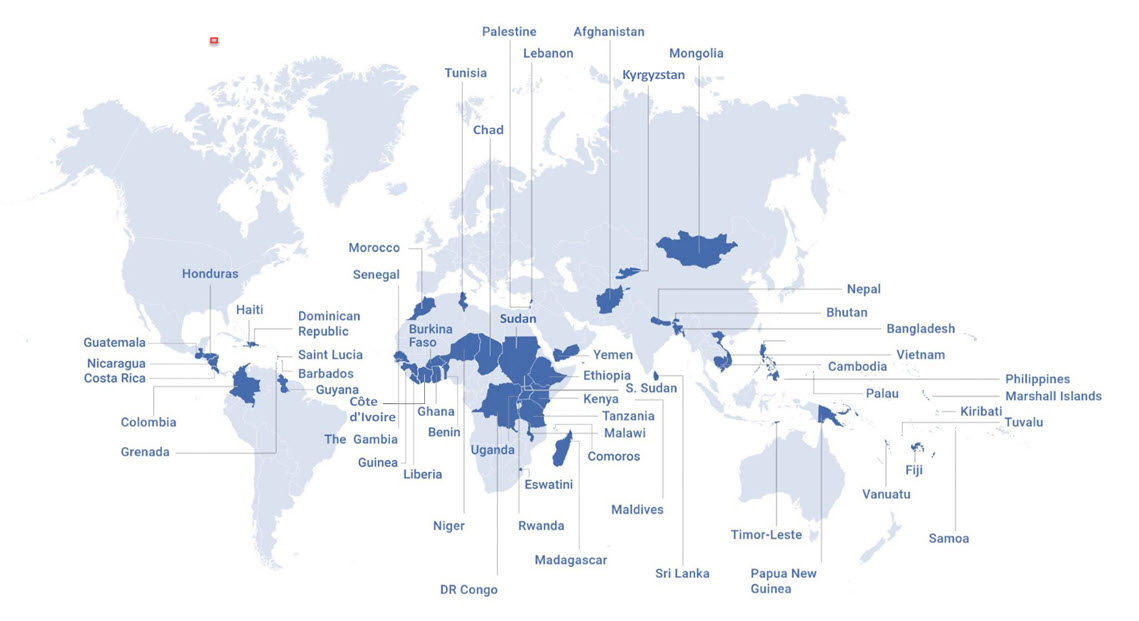
58 COUNTRIES STAND TOGETHER
TO FIGHT CLIMATE CHANGE
